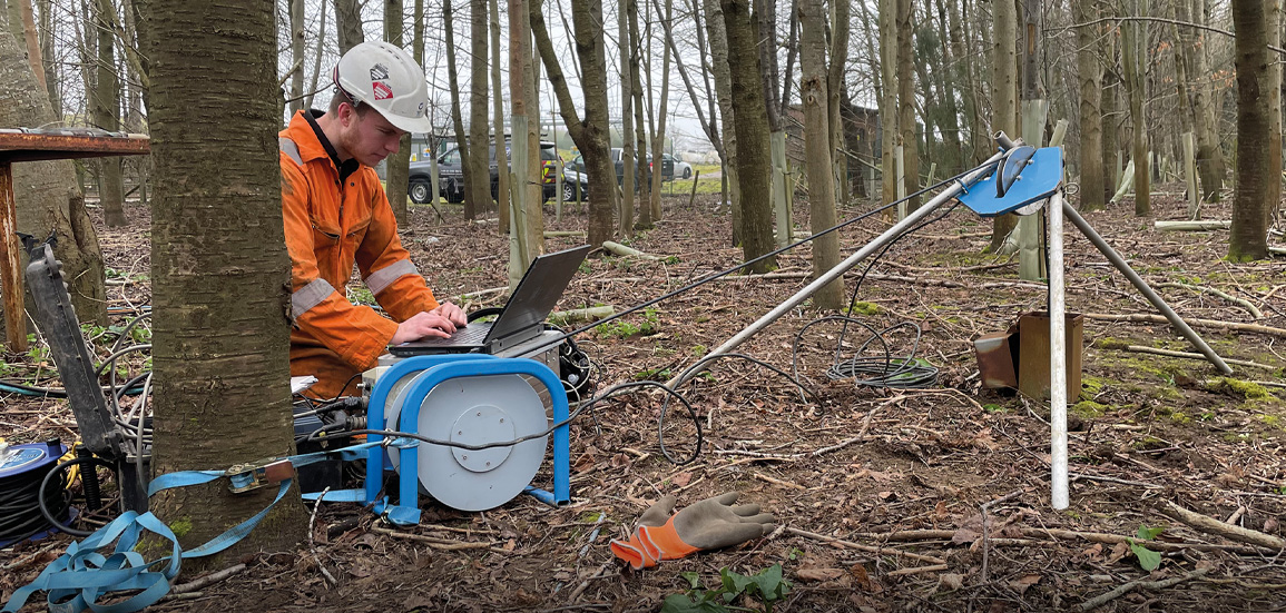
With appropriate training, logging engineers can routinely gather high quality calibrated data from their systems. An understanding of the principal components, as described here, is however a prerequisite.
A Robertson Geo geophysical logging system is made up of several items of electrical and mechanical equipment which work together to make specialized measurements within a borehole at known depths. Despite there being a considerable range of measurements, there are several key principles which hold true throughout.
The logging system operates under computer control via a USB connection. The computer is fed with data measurements from a borehole probe and data from surface instruments associated with a logging winch. This allows the system to make a graph or table of measurements against borehole depth or time, as required. The computer allows control of many functions of the system both automatically and under operator control.
In general, a logging system will consist of an electrical power source, a computer and software, a geophysical logger (Micrologger2), a logging winch, a tripod (or sheave wheel), borehole probes, connecting cables, probe accessories and maintenance items. Robertson Geo logging systems are relatively compact but will require a vehicle to transport the equipment to site, in most cases this will be a customised dedicated logging vehicle.


