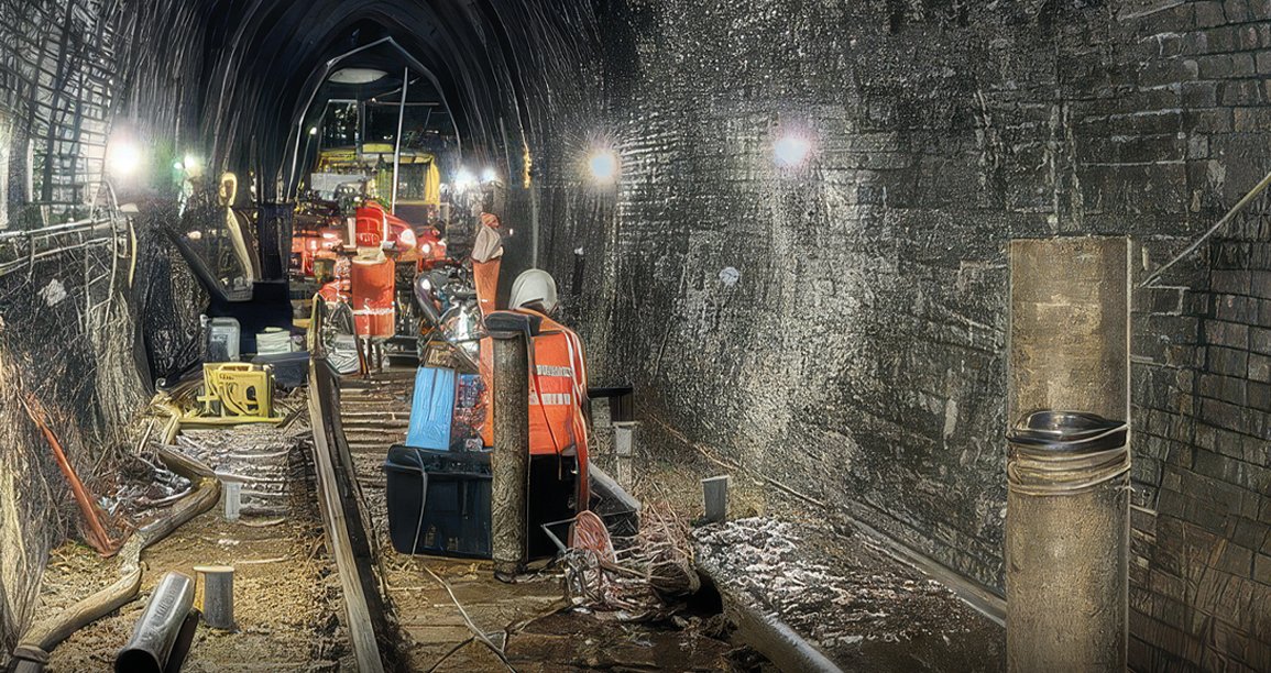
Whitehaven Tunnel in Cumbria is an approximately 1 km long single-track brick lined railway tunnel, part of an important rail link for the area. Since 2020, the tunnel has experienced twice daily flooding by the inflow of acidic mine water, apparently related to tides.
In 2022 a drainage tunnel from the main tunnel began discharging ochre contaminated mine water into Whitehaven harbour, by which time flooding had exceeded track level. This triggered a detailed mining risk assessment and ground investigation within the tunnel which included extensive geophysical surveys to characterise mine workings.
Multiple geophysical methods were used, in challenging tunnel environments, to inform risk assessments, and support evidence-based engineering decisions. The data would allow a coherent subsurface model to be derived, highlighting zones of probable voiding, weakened ground and areas requiring remediation.
Between July and October 2025, detailed investigations were undertaken to characterise mining hazards, mine water behaviour and geotechnical conditions affecting the safety of the railway.
Core drilling, with a nominal diameter of 146mm, was employed on a series of boreholes up to 23m deep. In some areas, core sample recovery was less than 50%, meaning that the wireline data proved to be the only reliable source of geological information in the survey area.
A P-wave cross-hole seismic tomography survey was undertaken between three boreholes drilled where a coal seam intersected the tunnel floor. The purpose of the survey was to attempt to image individual voids due to coal extraction below the tunnel floor. The survey was undertaken with a source borehole in the centre and receiver hydrophone arrays in the boreholes either side with an additional surface geophone array to improve raypath coverage.
A trackbed seismic array was also deployed to image any low velocity areas below the trackbed outside of the area suspected to be affected by coal workings. The data was processed to produce a seismic refraction tomography data set, which was used to indicate areas with relatively low rock mass strength along the seismic profile length.
Ground penetrating radar was deployed to investigate the brick tunnel lining. The purpose of this survey was to characterise any defects in the tunnel lining, measure the thickness of the tunnel lining and identify indications of moisture and geological changes behind the tunnel wall.


