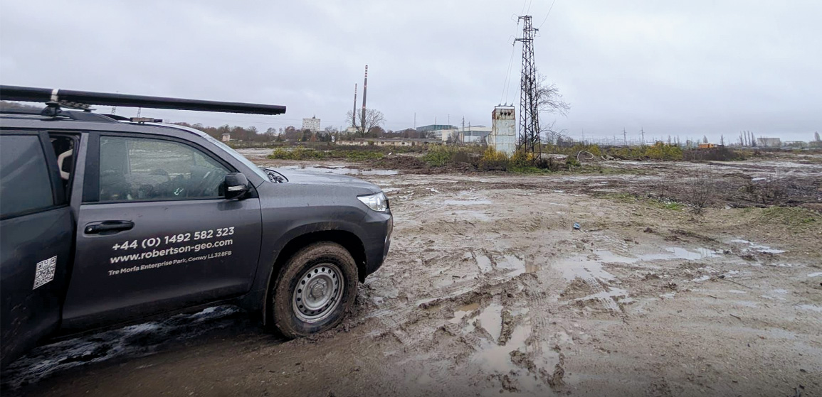
Construction for the power plant started in 1970 with the first power being delivered in 1974. Since then the plant has continued to produce electricity and has been extended and upgraded through several development phases. The plant remains a vital part of the energy infrastructure of Bulgaria.
The requirement for the logging was to run PS Logger® and 3-Arm Caliper probes down six boreholes in two separate visits. Each visit required travelling from the RGS base in North Wales, a journey spanning eight countries and nearly 3,000km each way. All land based logging for RGS is undertaken using two engineers for efficiency and safety purposes which allowed the engineers to share the driving on this long trip. The journey was made in a 4×4 Toyota Landcruiser equipped with a 2000m Winch and loaded with additional spare probes. All probes had been calibrated and borehole tested at the Robertson Geo Borehole Testing and Calibration Centre before departure and carried valid conformance certificates.
The six boreholes were cased with 66mm internal diameter PVC casing and drilled to depths of 150m and 55m. The 3-Arm Caliper was run first providing diameter and natural gamma data. The diameter data, in this case, was used to confirm the integrity of the PVC casing and the natural gamma data could be used to determine lithological boundaries in the formation. The PS Logger® is run statically in an upward direction with each station comprising three shots, collecting waveforms on six channels for each shot. The station interval was 0.5m which meant that 200% coverage was obtained as velocities for each shot were averaged over a 1.0m interval corresponding to the receiver spacing.
The PS Logger® data was processed using the GeoCAD® PS Logger® processing module which provides many features to assist with the manual picking of the arrival times. From the arrival times picked, P and S wave velocities and Poisson’s ratio were automatically calculated. The data quality was extremely good for most of the extent of the boreholes with “textbook” waveforms being recorded for many of the stations. The high quality waveforms made the picking simple and confidence in the derived velocities and Poisson’s ratio was similarly high. The data presented to the client included P and S waveform plots, velocity and Poisson’s ratio plots, caliper gamma plots and a combined plot. The digital data was supplied as las files, csv files and in SEG Y format for the PS Logger® data. A comprehensive final report covering all aspects of the logging and data processing was also prepared for the client.
There were no significant problems or deviations from the expected conditions to report during logging. The logging was carried out following the original plan. The overall data quality was extremely good. The resulting PS Logger® data could then be used to confidently enhance soil strength calculations and the P wave velocity data could be used for converting shallow surface seismic two way travel times (TWTT) to depths.


