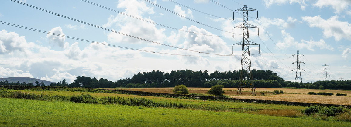
The Denny-Wishaw Network Upgrade project, identified as DWNO, is a major Scottish energy infrastructure project by SP Energy Networks to reinforce the high-voltage electricity transmission network. It involves building new 400kV overhead lines and upgrading substations in Central Scotland to boost capacity by 1,000MW, enabling more renewable energy to flow.
The requirement for RGS was to conduct televiewer and caliper logging on two boreholes around Cumbernauld where a substation was to be located. The boreholes were drilled to depths of 9.20m and 32.00m. Accessing the boreholes was not straightforward, due to a densely wooded area and a tracked dumper was provided by the client to help with moving equipment to the boreholes.
The probes used were the High Resolution Acoustic Televiewer (HRAT)®, High Resolution Optical Televiewer (Hi-OPTV)® and 3-Arm Caliper. The Hi-OPTV® was logged first to enable a clearer image to be obtained in an undisturbed water column, followed by the 3-Arm Caliper and finally the HRAT®. By running both televiewers, which essentially provide the same data, any opaque borehole fluid limitations were overcome. The 3-Arm Caliper probe outputs borehole diameter and natural gamma data, which indicates fracture zones and bed boundaries.
The televiewer data, in the form of oriented unwrapped borehole wall images, was processed extracting feature information from both the optical and acoustic logs, to take advantage of the clearest possible images. The picked features were then automatically delineated by the software revealing bedding planes and fractures in the form of azimuths and dip angles.
Once processed the data was presented as image logs with feature sinusoids, tadpole plots, Wulff Plots and Rose Diagrams. Digital data was provided as dips data, las files, csv files and pdfs.
Despite the challenging terrain, RGS successfully completed both boreholes, achieving a clear image throughout the extent of both boreholes. The combination of probes used allowed Story to confirm target structures and to update their geological models.


