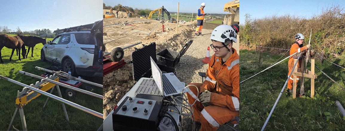
The N/M20 Cork to Limerick Project is a key element in Project Ireland 2040, the government’s long-term strategy for national development. The project aims to improve connectivity between Ireland’s second and third largest cities by enhancing the quality of the transport network. This will address significant safety issues associated with the existing N20 route, providing safer and more efficient journey times.
The High Resolution Acoustic Televiewer (HRAT)® was used to obtain detailed images of borehole walls. This technology provided valuable data for identifying fractures, bedding planes, and other geological features within the rock formations. The data was essential for assessing rock mass quality, evaluating stability, and informing decisions related to excavation and support. The images collected by the probe were oriented to magnetic north, allowing for the orientation of in-situ fractures and other geological features.
Above the water table and where the borehole fluid was clear the High Resolution Optical Televiewer (Hi-OPTV)® could be used. Operating at extremely high resolution, small-scale features that may not have been visible in the acoustic images could be discerned.
Both televiewers orientate images using an internal magnetometer and inclinometer arrangement. Orientation is crucial for accurately determining the TVD (total vertical depth) of the borehole and the conversion of apparent dips, measured on the borehole wall image, to true dips.
A 3-Arm Caliper probe was deployed to measure the borehole diameter and natural gamma. This provided crucial information about the borehole’s condition, including variations in diameter which can indicate fractures, washouts, or other geological features. The natural gamma profile is useful for delineating bed boundaries and for lithological mapping between boreholes.


