Port Ellen is the major commuter and freight transport port on the island with numbers peaking around 6-7,000 tourists during the summer months, enjoying the famous whiskey distilleries, links golf courses, wild landscapes, and stunning silver beaches.
CalMac Ferries, who look after the regular crossings between the mainland and the island, have acquired 2 new 94.8-meter ferries for the Islay routes, with capacity for up to 450 passengers and 100 cars or 14 commercial vehicles on each. This will provide a combined 40% increase in vehicle and freight capacity on the Islay routes and will improve the overall resilience of the wider fleet. The two larger ferries, the MV Isle of Islay and MV Loch Indaal, will require a larger berth in Port Ellen than is currently available.
For the geotechnical investigation two deep boreholes were drilled where RGS would provide televiewer logging to delineate bedding and fractures in the bedrock. Two additional shallower boreholes were drilled further out from the port wall to ensure trends found in the deeper boreholes continued. The investigation will provide valuable data to assist developers Caledonian Maritime Assets Limited (CMAL) to design and locate underpinnings and foundations for the new terminal.
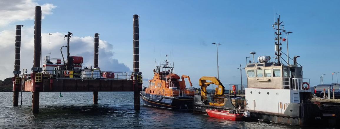
A jack-up rig, towed into position by the port barge, provided a stable platform for the drilling and logging. Working within some tight weather windows between the inevitable Scottish winter squalls and storms was challenging at times.
Overall, the project was a great success with the Robertson Geo High Resolution Acoustic Televiewer (HRAT)® and High Resolution Optical Televiewer (Hi-OPTV)® providing clear and precise images of bedding planes, minor and major fractures. A 3-Arm Caliper probe provided additional information on borehole dimensions and natural gamma, the latter useful for mapping lithology trends between boreholes.


