Historically, gold mining operations in the Witwatersrand region could experience safety issues due the presence of methane in underground mines. Where a borehole has intersected a gas-bearing fracture zone significant amounts of gas may be expelled at the surface, this borehole could then be termed a “gas blower”. These “gas blower” boreholes have now attracted interest from gas exploration companies.
Quik Log Geophysics (Pty) Ltd was engaged to conduct geophysical borehole logging on a “gas blower” borehole of around 390m depth, in the Witwatersrand underground gold mining region. The survey objectives were to map the depths of gas ingress zones, relative to the water table, and to delineate the geometry of fractures/faults acting as gas conduits. A further exercise would be to correlate the findings with known faults mapped by underground mining.
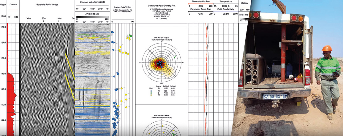
The Robertson Geo probes used for the survey were the High Resolution Optical Televiewer (Hi-OPTV)®, High Resolution Acoustic Televiewer (HRAT)®, Impeller Flowmeter, Temperature Conductivity and the 3-Arm Caliper. The televiewers mapped the fractures and faults by recording an oriented “unwrapped” image of the borehole wall from which geologic features were picked and azimuth and dip calculated. The Temperature Conductivity probe and the Impeller Flowmeter showed water ingress and egress zones and the 3-Arm Caliper was used to check borehole integrity and to confirm bed boundaries using its natural gamma detector. In addition, a third-party borehole radar system was also run in the borehole.
The multi-tool survey showed one major gas ingress point via three closely spaced intersections and the location and geometry of these features were used to correlate with known faults from the gold mining exploration work.


