The NVE directorate operates under the Ministry of Petroleum and Energy with national responsibility for risks from flooding and landslides and mitigation measures. The Geological Survey of Norway (NGU) is mapping and risk classifying the potential for large rockslides on a national scale. The NGU manages the “InSAR Norway” project which presents information about ground deformation by analysing long time series radar satellite imagery.
Once risks are classified, NVE is responsible for monitoring the high and medium risk rockslides. In many cases InSAR Norway data is sufficient to meet the requirements of periodic monitoring. For high risk rock slopes more accurate additional data may be required, obtained using a variety of techniques including differential GPS, laser interferometry, extensometers and borehole techniques.
Geophysical borehole logging can provide detailed information for rock mass characterisation to feed into ground models and for hydrogeological assessment to support drainage interventions. The High Resolution Optical Televiewer (Hi-OPTV)® probe uses images of the borehole wall to identify geological features and accurately delineate fractures and their distribution.
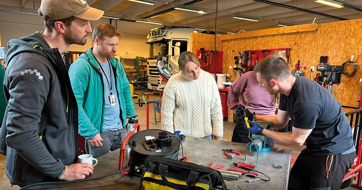
The RG Academy® focus was to train the NVE team on the use of their new High Resolution Optical Televiewer (Hi-OPTV)® probe in conjunction with their 500m Winch in preparation for an important upcoming slope stability monitoring project in northern Norway. Refresher training was also provided on some of the client’s other existing Robertson Geo probes; Full Waveform Triple Sonic (formation velocities), Electric Log (resistivity) and Temperature Conductivity (fluid properties).
Norway is leading the world in the use of InSAR for slope stability and landslide analysis, setting the global standard for national public hazard early-warning services. Robertson Geo are delighted to be able to contribute equipment and services to assist this groundbreaking endeavour.