The Wynhol Viaduct is an iconic feature of the M5 motorway and a famous Bristol landmark that has been open for more than 50 years. The investigation involved a team of abseiling engineers working on the rock slopes high above the carriageway and a state-of-the-art drone survey to capture high-level geotechnical detail in addition to the drilled borehole data collection. The abseiling team were reinforcing the slope using a combination of active anchoring, soil/rock nails and high-tensile steel netting. Retaining wall structures and catch-fences were present, engineered to withstand shifting soil loads and protect the live motorway below.
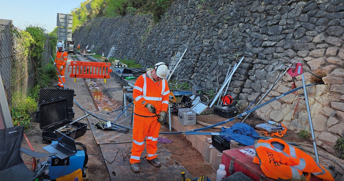
The three downward facing inclined boreholes were drilled through retaining walls at around 20° from horizontal to depths up to 33m. A portable setup was required as the nearest vehicular access was around 500m from the boreholes. The equipment, including a 500m Winch, was hand carried and transported by trolley.
A system of rods was required to push the four probes into the boreholes, which required three engineers on each of three separate site visits.
An RGeo-eye® Downhole Camera was run first to determine total depth (TD). This was very useful for identifying mud buildup at the bottom of the hole, which saved a lot of time on the near horizontal boreholes by maximising the televiewer coverage without getting mud on the lens.
A 3-Arm Caliper was then run to measure diameter and natural gamma and to confirm the borehole was stable.
As the borehole was dry, only the High Resolution Optical Televiewer (Hi-OPTV)® could be run to produce an unwrapped borehole wall image. The probe required careful centralisation to obtain the highest quality images, from which bedding and fractures were picked and automatically delineated.
For hydrogeological information, the Nuclear Magnetic Resonance probe was run providing detailed porosity information and estimates of hydraulic conductivity and transmissivity, critical information for determining slope stability.
The challenges of deploying a portable setup, a tight working space and the need to set up a push system to deploy the probes were overcome and a high quality dataset was successfully collected.


