The government plans to build two cross-harbour bridges to divert the traffic in the Lantau Link, aiming to open by 2033.
The Highways Department revealed a proposal aiming to develop the project of the Tsing Yi – Lantau Link, which will be extended for approximately 5.2 kilometres long and located on the south side of the current Lantau Link.
The two cross-harbour bridges, which will parallel the Lantau Link, will span the Ma Wan Fairway and the Kap Shui Mun Fairway.
The bridge crossing Ma Wan Fairway will be constructed on the west side of Tsing Yi, with a 2.3 kilometres length, to connect with Tsing Sha Highway. The other bridge across Kap Shui Mun Fairway will be about one kilometre long, connecting North Lantau Highway, the proposed route 11 (a highway section between Yuen Long and North Lantau) and the proposed Kau Yi Chau Artificial Island.
“The new link will become an alternative for citizens travelling between Lantau and the urban areas as well as enhancing the capability for dealing with traffic incidents,” the department noted.
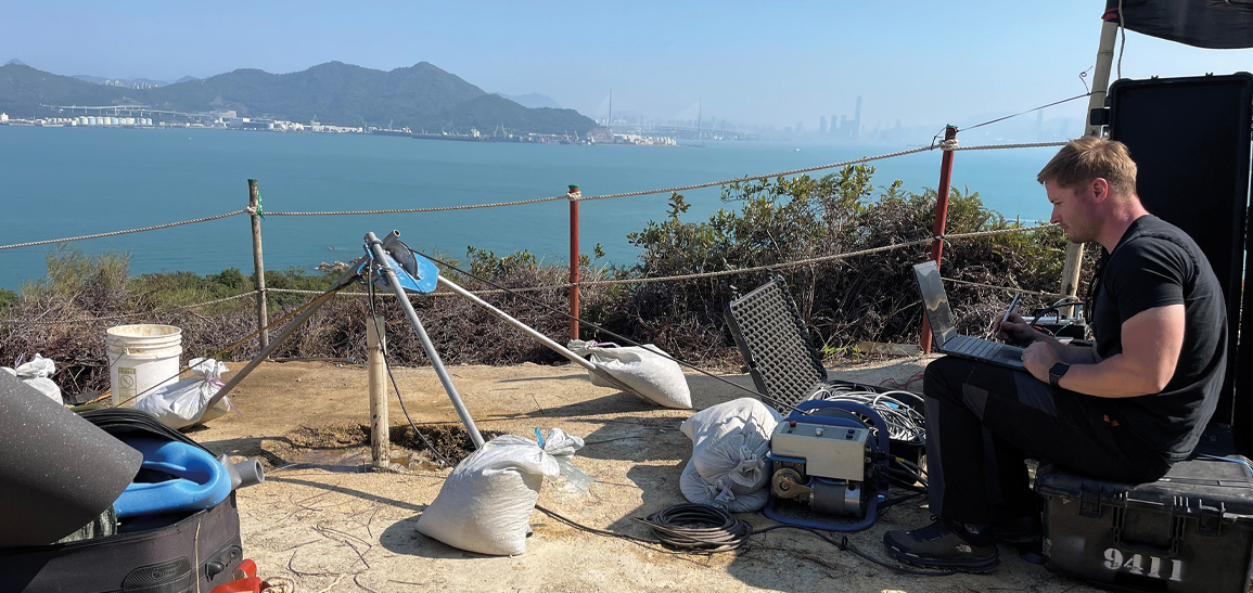
The PS Logger® probe measures P (compression) and S (shear) wave velocities in a single borehole without the need for external energy sources, making it simple and quick to deploy and therefore cost effective, especially when compared to alternative methods. When combined with bulk density values (from a density log or from core sample tests) small strain moduli (Young’s, Shear and Bulk) can be calculated using simple formulae.
From unconsolidated soils to the hardest of rocks, (in this case granite and rhyolite) the PS Logger® provides proven results. Simplicity of deployment combined with a minimum of borehole preparation and the ability to obtain high quality velocity data in unconsolidated formations and hard rocks make the PS Logger® the industry choice for Geotechnical and Civil Engineers investigating rock strength.


